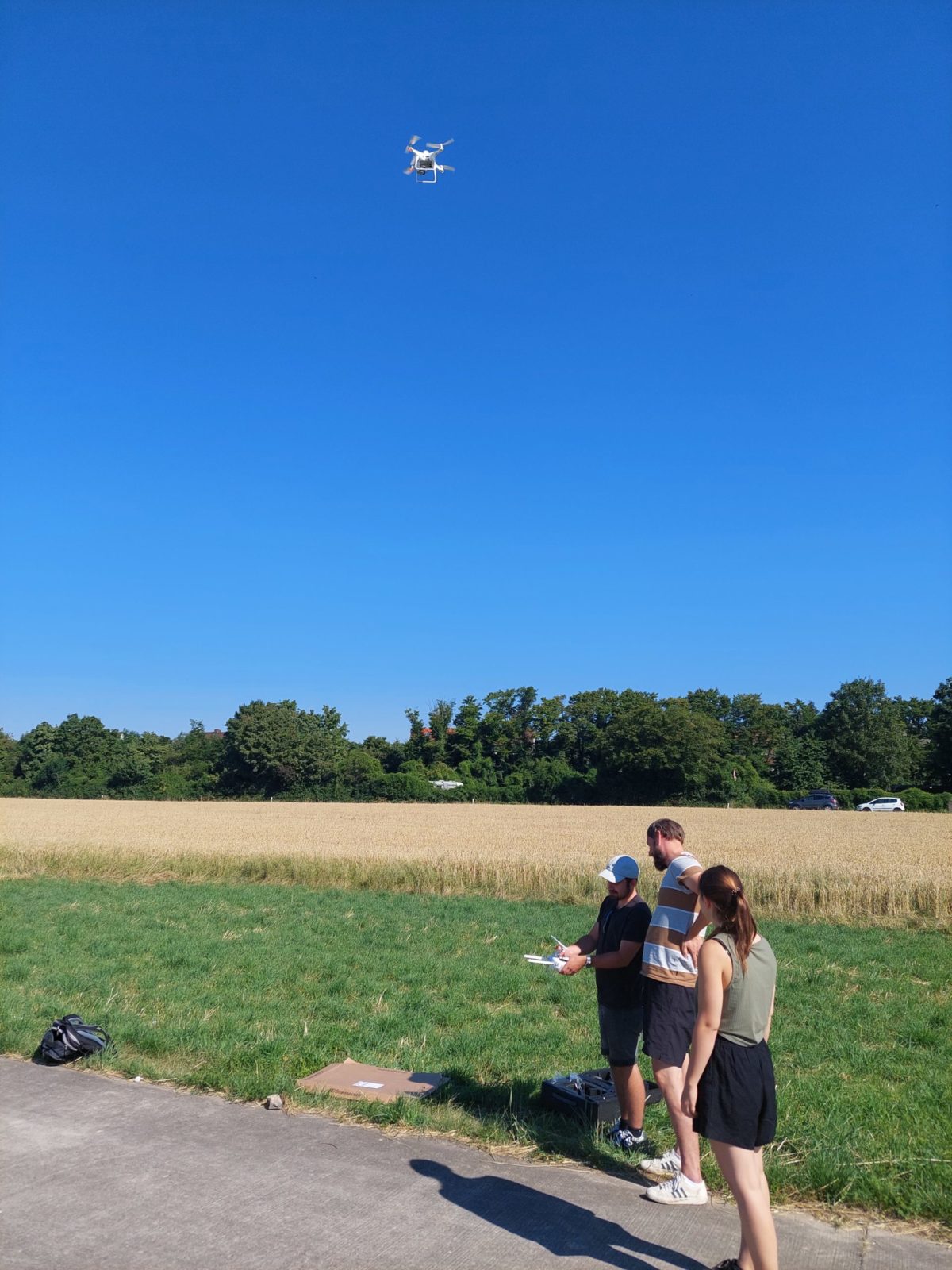
Many land recycling projects have one thing in common: they are quite confusing. This is because there are often many winding buildings and irregular ground structures to be recorded and new building pits and heaps to be measured. What used to be done with a great deal of effort or rather rough estimates will in future be done by the team of MuP Umwelttechnik GmbH in Heidelberg, Ludwigshafen and Ingolstadt, which is active throughout southern Germany, with the help of a so-called surveying drone of the latest generation.
This so-called RTK drone, which functions according to the principle of real-time kinematics, combines data from satellite navigation during the flight with positioning data received by radio signal from an official surveying service. This enables the objects flown over and photographed to be measured with an accuracy of a few centimetres.
In a second step, a three-dimensional model of the overflown buildings and ground surfaces is calculated from the collected image and position data using special photogrammetry software. This model body in turn enables the determination of all desired spatial information - be it the location of measuring points or the areas and volumes of buildings, excavation pits or heaps. Furthermore, this data can be integrated into digital plans and geographical information systems of architectural and engineering offices for further planning and control tasks. Drone capture also facilitates the control of material flows and the mass balancing of earthworks and disposal operations. In addition, the drone can facilitate the measurement of new points and boundary lines in the terrain.
Ultimately, regular bird's-eye views serve as clear documentation, preservation of evidence and control of the construction process.
#Vsurveydrone #Vsurveyfromtheair #Dronepilot #MuPUmwelttechnikGmbH #mupgroup #engineeringforabettertomorrow