
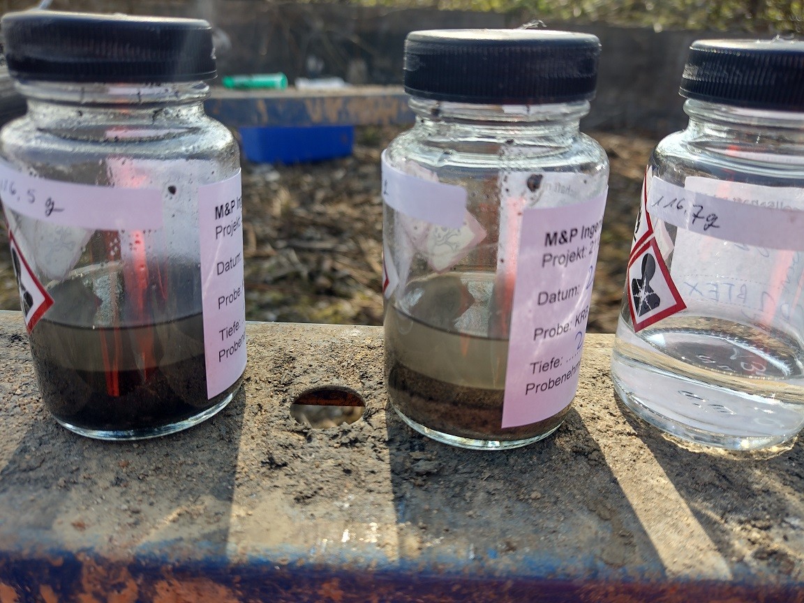
Volatile chlorinated hydrocarbons (VOCs) are potent solvents and were used on a large scale in the past, for example in laundries or metalworking companies. Unfortunately, the necessary care was not always taken when handling these hazardous chemicals. In practice, it is therefore not uncommon in many places for the liquid CHCs to get into the ground. There they can adhere to soil particles, run into the groundwater or evaporate and concentrate in the soil air. LCHC spillages are an example of harmful interference with the subsoil, where it is often necessary to carry out measures to remove the pollutants, for example by excavating and disposing of contaminated soil material with an excavator. The precise localisation of the contaminated area is of great importance in order to be able to make optimum use of the resources available for a remediation measure. Simply excavating on spec wastes resources that could have been better utilised elsewhere. Boreholes are usually drilled to determine the position of the damage underground. Samples can be taken from the extracted drill cores, which can then be assigned to a specific depth. Modern laboratory methods achieve detection limits of one part pollutant to one million parts soil (and better!). However, the number of available drill cores and analyses is often limited. Obstacles such as buildings can also limit the areas of damage that are accessible for direct sampling. A complete analysis of every cubic centimetre of soil is neither practical nor sensible. Nevertheless, it is helpful for the processing of the damage case to draw conclusions from the point information from the soil samples to the entire volume of the pollutant distribution. Geostatistical methods can help with this task. They establish a mathematical relationship between the measured concentrations and their respective position in space. Such geostatistical models can be used to interpolate on the basis of the available measurement data so that a probable concentration can be calculated for each point in space. Geoscientists have an ever-growing canon of powerful algorithms at their disposal for this task. In addition to powerful classics such as kriging and generalised additive models, tools from the group of so-called machine learning have been increasingly added in recent years. Random forest and support vector machine models as well as artificial neural networks can be adapted and used to solve position-related problems. The result is a continuous, n-dimensional image of the pollutant distribution. This can be used to derive areas of focus, for example where the concentration is particularly high or where there is a risk to a sensitive protected good. Geostatistical methods help us to better quantify the effect and prospects of success of a remediation measure in advance. In this way, measures can be precisely adjusted to maximise their impact on the terrain.
#engineeringforabettertomorrow, #mullandpartner, #whatwedo, #groundwaterprotection, #rstats, #hydrology #mupgroup